The signature hiking trail in Big Bend National Park is the Outer Mountain Loop. For a section of trail that is only 30 miles, it is a grueling adventure with constant elevation changes, lack of water, and possibility of intense heat. I just completed the loop solo in April, and will in this post provide some Outer Mountain Loop hiking tips.
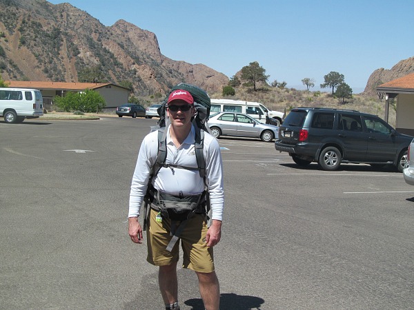
Outer Mountain Loop hiking tips – A picture of me at the beginning of the Outer Mountain Loop adventure
What is the Outer Mountain Loop
The Outer Mountain Loop is actually a medley of trails. There is no Outer Mountain Loop trail. It begins at the Chisos Basin with the 5.5 mile Pinnacles Trail up to the top of the Chisos Mountains. Once you reach the top of the Chisos, hikers walk about a mile on the Boot Springs Trail and then descend down the Juniper Canyon Trail. The Juniper Canyon Trail is a little over 6 miles.
Read my three part trip report here:
Big Bend Chisos Mountains hike
Big Ben Juniper Canyon hike day 2
Completing the Big Bend Outer Mountain Loop
The Juniper Canyon Trail then meets the Dodson Trail. The Dodson Trail crosses the Chihuahuan Desert with an 11.5 mile march to the Homer Wilson Ranch. Here the Dodson Trail ends and the Outer Mountain Loop continues on via the Blue Creek Trail. The 5.5 mile Blue Creek Trail goes back up to the top of the Chisos Mountains and hooks up with the Laguna Meadows Trail. The Laguna Meadows Trail goes 4.5 miles across the top of the Chisos Mountains and then back down to the Chisos Basin.
Water is the key
There is no sure fire water source along the 30 mile loop. There is Juniper Springs and Boot Springs, and a few creeks along the Dodson Trail that have seasonal water. Check with the ranger to see if these sources are available.
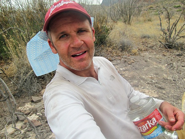
Outer Mountain Loop hiking tips – Water is your precious – Never was I more happy to see a gallon of bottled water
Cache Water
At the junction of the Juniper Canyon Trail and the Dodson Trail, there is a backcountry parking lot with a metal box to hold water. If your car can manage the dirt roads, you can stash water here. There is also a place to keep water at the Homer Wilson Ranch at the junction of the Dodson and Blue Creek Trails. This is off the main paved park road.
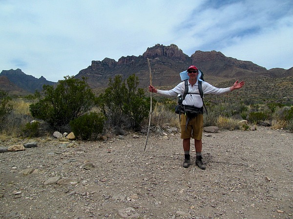
Pausing for a selfie at the Big Bend Juniper Canyon backcountry parking lot – I did not cache water here, but I would if I did this hike again
The general rule of thumb is one gallon of water per day per person; however, depending on the heat, hikers may need more. I would recommend starting at the Chisos Basin carrying a gallon to a gallon and a half of water per person; furthermore, I would also recommend caching a gallon of water per person at both water caching stations. I would also bring a filter and supplement your supply by filling up a liter wherever there is an active source. If you cannot get through to the parking lot at Juniper Canyon/Dodson Trail trailhead, then you should carry at least two gallons of water from the beginning of the hike and carry a water filter.
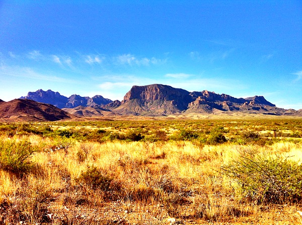
Outer Mountain Loop hiking tipswhere in the park you are – Definitely plan to explore on top of the Chisos Mountains
Day trips on the Chisos
When you reach the top of the Chisos at the beginning of the hike, it is only 1.5 miles to Emory Peak, the highest mountain in the park. There is a bear proof container where you can put your backpack while you take this 3 mile diversion.
There are several other trails you can hike on the Chisos, which are worthwhile. The Colima Trail and the Rim trails. The top of the Chisos are cooler, tree covered, and relatively level, so the hiking is pleasant on top. Be on the lookout for the Colima warbler. The bird is extremely rare and only found in Big Bend and small sections of Mexico.
Other Outer Mountain Loop hiking tips
Hike the trail from October-March. I hiked it in mid April and it was 100 degrees. I just missed good weather. It was cool and crisp the day I got there, but then heated up the days I was hiking through the Chihuahuan Desert. If I had it over again, I would come in late March.
I hiked the trail in three days camping out for two nights. I would recommend staying out for three nights and hiking four days. Might as well take your time and enjoy the scenery and extend the trip if you can find access to enough water. The caveat with this is the longer one stays out in the desert wilderness, the more water they will need. If you decide to do the hike over four days, then you may need to cache/carry more water.
The trail is very well marked. If you fear hiking the trail because you might get lost, I would not worry. There are signs at every trail junction and well placed cairns and an obvious worn down trail make the navigating easy. As long as you focus on where you are going, you should be fine.
Do not underestimate the trail. Even though it is only 30 miles, it is up and down pretty much the whole way. Even the section on the Dodson Trail is grueling. The only part that is relatively flat is the five miles on the Dodson to the Homer Wilson Ranch and the first couple of miles on the Blue Creek. The heat and the lack of water make it even tougher.
Other useful information
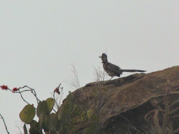
Wildlife – 3 deer, 2 roadrunners, hummingbird, Scott’s oriole – No bears, wildcats, poisonous snakes, scorpions, spiders seen
Backcountry permit is $10.00 and entrance fee is $20.00
Solo hikers need to complete a solo hiker form. The park rangers will take a photograph of you, your backpack, and the soles of your shoes. They also want your vehicle information and color of your rain gear, so they can find you if you do not show up back at your car on time. You need to check back in with the rangers upon return.
When you are done with the hike, make a beeline for the Rio Grande Village and the hot springs. There is a natural hot springs located along the Rio Grande River here. The hot water will soothe your muscles and after suffering with lack of water, you will enjoy taking a dip in the Rio Grande.
If you have any questions that this article did not answer, feel free to email me – volhiker70@yahoo.com – The park service at Chisos Basin are very knowledgeable, friendly, and helpful. Give them a call with any questions as well – 432-477-2392 or you can research their website.
Adventure on!
The goal of this site is to inspire people to outdoor adventure travel and then provide tips. If you liked this post then sign up for the email newsletter. Notifications go out once or twice a month with what is new with Traveling Ted’s adventures. Your email will not be share and you will receive no spam. Other e-follow options include Facebook (click on the like box to the right) or twitter (click on the pretty bird on the rainbow above).






Nice Trip Ted it is awesome!
jawad mehmood recently posted..Jumeirah Beach Hotel
Thanks Jawad!
All fanny-pack photos should always be full size… don’t cheat your fans. And thanks for continuing to inspire me to take more hikes…. beautiful places to explore out there.
stayexploring, Craig
Craig Zabransky recently posted..Sunset Sunday -The Sunset Scene in Mindelo, St. Vincent Island, Cape Verde
It is just a tease Craig. Hope they will sign up for more fanny pack pictures.
Beautifull nature Ted!
Thanks Wes!
This looks like a great hike, though hot and extremely difficult. I love that you saw a roadrunner, and that you didn’t see bears or any other dangerous creatures. At least a gallon of water a day sounds like a lot, but I’d probably need more. I find that I get to excessively thirsty while hiking. You gave some really great tips, and I hope to use them one day!
Erin – The World Wanderer recently posted..Chicken Korma and Basmati Rice Recipe.
Thanks Erin,
Hope you make it out for some desert hiking someday. It is a different type of experience, but well worth the difficulty.
Good write up. I recently completed the OML in November. I want to do the OML again next year but expand it to 5 days backpacking, any suggestions on a route?
Jarrett recently posted..Trip Report: Big Bend Day 3
Hi Jarrett,
Congrats on finishing. I think I should have done it in November. Of course, I am sure it can get hot then too. I am sure you could expand the trip with more hiking in the Chisos Mountains. Only problem with this plan is water. You would need to cache more or make a trip back to the starting point.